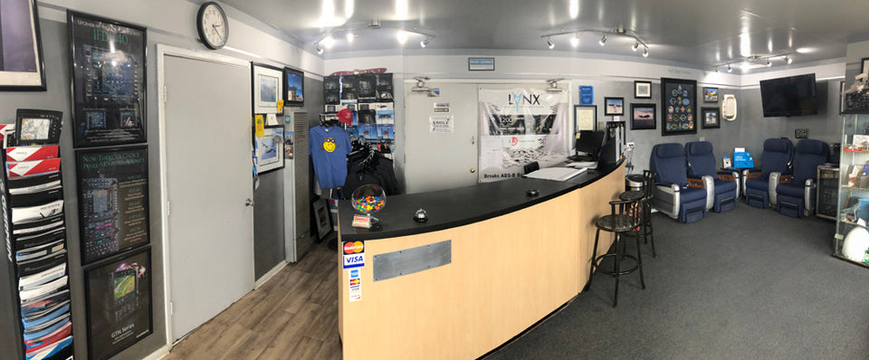
We've Moved!
We've moved! Still proudly based at William J Fox Airfield in Lancaster, CA we have moved to a newer, more spacious hangar at 4866 William J Barnes Ave, Lancaster, CA 93536.
Location
High Desert Avionics
W.J. Fox Airfield
4866 William J Barnes Ave
Lancaster, CA 93536
sales@highdesertavionics.com
(661) 949-8300
FAA Repair Station #HD7R252J
Testimonials
High Desert Avionics


Integrity
High Desert Avionics has served the aviation community & Southern California for over 30 years. Sales & Custom Installations and Technology for the future is here today at High Desert Avionics, Inc.

Proud AEA Member
High Desert Avionics is a proud member of the Aircraft Electronics Association.
(FAA Repair Station #HD7R252J)


Relationships
We have strong relationships with Garmin, L3 Aviation, Appareo, Avidyne, Genesys, PS Engineering, Aspen Avionics & Honeywell & Many More.
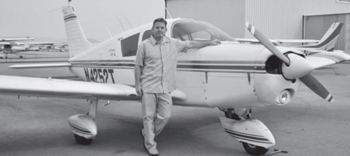
Our Story: High Desert Avionics
High Desert Avionics, Inc. began in 1993 in a small, two-room building near Barnes Aviation.Its founders, Jeff Landon and his wife Kerry Landon, had to conduct all of their installations outdoors. A year later, they were able to move into their permanent hanger (still near Barnes Aviation) at William J. Fox Air Field in Lancaster, Calif.
“Jeff’s always loved airplanes and he came out and started working on airplanes when he was really young and that sparked his interest in it,” said Kerry Landon, Jeff had worked with another shop but when “there was no one out here to do [avionics] so Jeff stepped in and started this up. as it was a dream come true”
“We saw a need,” said Avionics Manager Jeff Landon, “and we filled it.” " We get to work with aircraft and the most wonderful people who we consider more than just customers but a part of our Aviation Family and Friends."

Top Manufacturers


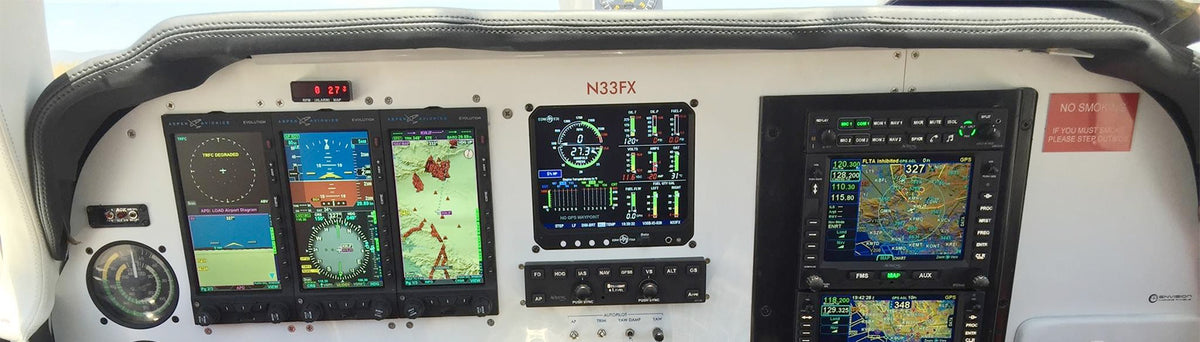
Installation Examples
Aspen Avionics Install on a V-35. Avidyne IFD 540 + 440. Avidyne DFC 90. JPI EDM 930.